Relying on one chart could get you into all sorts of trouble, as Mary and Scott discover
S23 20.70 W134 53.40 11.1nm from the reef entrance of the atoll. Exciting!
Scott (YT) and Mary Flanders (MS) left Gibraltar on 16 September 2006, and we’ll be following their journey every step of the way, thanks to this unique online “blog”. For a complete list of all the couple’s blog entries click here
Relying on one chart could get you into all sorts of trouble, as Mary and Scott discover
Thursday 15 May
Well, mis amigos, we left you on Thursday morning wondering “what will the day bring?” Soon after firing that update into space our speed started nudging the 6.0 knots range. Soooo, we calculated our miles to the anchorage, throwing in a couple of extra miles for whatever, which gave us a total of 195nm.
It was 8am local time and 195nm divided by 6.2 knots gave us a travel time of 32.5 hours or an arrival time of 4.30pm the following day. This would have been the last acceptable time for navigating in coral heads with the sun somewhat low in the west. The bottom line is we are running 1500rpm, averaging over 6.8 knots. We’ll see what the weather brings today to see if we will make it.
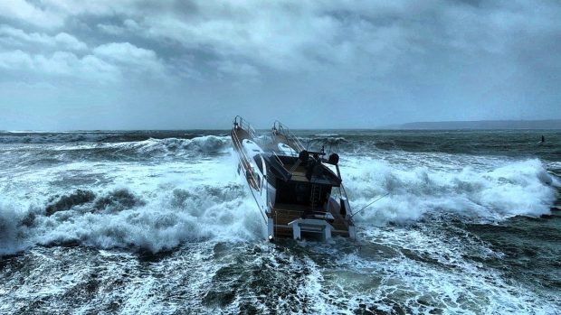
It’s a beautiful day at sea with comfortable seas, blue skies and a few white puffy clouds. There are scattered flying fish from time to time and we have seen a new sea bird that looks like a tropical bird on steroids. Life is good for theEgretcrew.
Friday 16 May am
It is early (the first hint of daybreak). We’ve had a wonderful night at sea with gentle swells, little wind, a 3/4 moon and lots of stars. This said, we had to pass between two reefs, one exposed and the other with just enough charted depth to pass (but who knows?). Charting is notoriously off in the South Pacific, particularly in the southern areas where there is no commercial traffic or reason for anyone, bar a few locals, to be here. I have read previous stories of charting being off by as much as five miles. This is not good.
Frank made the jog aligning between the two reefs during his watch. I heard the GPS changes (beeps) and was wide awake so I had to come and take a look. The exposed reef was twelve miles away according to the chart plotter (we were running two charting programs on a split screen that agreed) but we couldn’t raise it on radar. Finally at eight miles the reef exposed itself on our 12-mile radar perfectly clearly and was shaped exactly as charted. I don’t get it – it’s a mystery.
Just this second the reef is appearing on our six-mile radar about 75 degrees off the starboard side.
The seas have now reduced themselves to gentle glassy swells and the Naiad’s have been turned down to a lower setting. The speed dropped during the middle of the night but now we’re rocking along at 6.5 knots. Knock on teak, I believe we will have good light for arriving at the anchorage later this afternoon with the sun high enough to read the water.
Friday 16 May 10am
We have closed within about 35nm of the anchorage. Interesting though that our two chart programs are way different as to where we will be rounding the southern point before the turn north into the entrance.
On this particular entrance our Swedish friends said C-Map was spot on so we’ll go with that but be careful to monitor the depth as well.
We received a welcome email from a relative of Frank who lives and teaches in California. Her class will be following our adventures so we’ll endeavour to include more local history on the places we visit.
Picture 1. A last look at Pitcairn islanders. Note the surf running, the reason we couldn’t anchor and they couldn’t launch their lifeboat to come visit.
Picture 2. Mary with her coffee gazing at the emerging Gambier Islands.