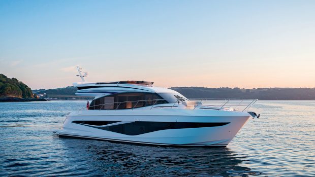
MBM has been talking to the founder of TeamSurv to find out how crowd-sourced data is helping to kick-start a revolution in marine cartography
Despite all the modern technology that boatowners have at our disposal these days, when it comes to passage planning it’s not uncommon to find that your charts could be as much as 100 years out of date.
“The evolution of digital navigation has exposed the fact that many of the surveys that underpin the world’s charts are not up to modern standards,” Rear Admiral Nick Lambert, former UK Hydrographer, told MBM.
“This is a significant problem for the International Hydrographic Office as well as the world’s hydrographic offices.
“We’ve got charts that cover the bulk of the world’s surface but the quality of the data that underpins many of them has been exposed.”
It was for this reason that Tim Thornton began drawing together boatowners across the UK and using their on-board technology to create far more detailed DIY charts.
Using his background in both boating and 3D modelling, Tim founded TeamSurv in 2010. This crowd-sourcing website collects data recorded by volunteer skippers and collates them into a usable format.
“My background has always been where IT and marine navigation meet, and with cruisers going to more and more far-flung places it became clear that it’s hard to find the best charts for the area,” Tim told MBM.
“Even closer to home, the charts around the back of the Isle of Wight are quite patchy, because for the UK Hydrographic Office’s main customers (i.e. defence and commercial), the demand for charts is insufficient for modern surveys. The idea behind Team Surv was to fill in the data gap for leisure boaters.”
Crowd-sourcing by enthusiastic amateurs has already provided us with the world’s most comprehensive encyclopaedia in the form of Wikipedia, so why shouldn’t the same principle be applied to charting the seas?
How does it work?
Most modern boats use sonar to sound the depths as they navigate, with the data instantly read out on the chartplotter or multifunction display.
By fitting a small datalogger, Team Surv’s volunteer skippers can record all of this data onto a memory stick and then upload it to the website, all in the name of a greater collective understanding.
Tim and his team then correct the data for height of tide, the distance between the GPS unit and the transducer and various other factors.
Within 24 hours, the updated chart is available online, with the new data incorporated but left anonymous, resulting in charts with depths accurate up to 0.2m.
“It’s not just the depth values; a third of the waters off Wales are still charted by leadline soundings, and there can be a lot of variation in the depths. We’re working to get the points closer together and pick up any changes in the seabed,” Tim explained.
Team Surv is also working on creating versions that are compatible with popular navigation systems, such as Raymarine’s Lighthouse operating system and PC chartplotters like Open CPN.
Where does the money come from?
TeamSurv’s charts have been provided for free so far thanks to an EU start-up grant, but with this three-year agreement coming to an end, it’s only natural to wonder where the money will come from in the future.
The good news for private boatowners is that they will never have to pay for the charts created by TeamSurv, so long as they contribute data themselves.
Tim aims to sell the most complex charts to publishers, scientific users, and harbour and port authorities to cover his team’s costs, and is already doing trials with Milford Haven, Weymouth and five of Caledonia McBrayne’s Scottish ports.
For now, anyone can download basic charts, but in the future Tim anticipates that he will need to introduce restrictions so that this service is only free to active data-logging skippers, with a charge for non-data logging users.
Rival services are available from Navionics and Navico (the latter is free for Lowrance, Simrad and B&G owners).
Navionics is particularly popular as the company works closely with UKHO to verify the data that goes into its apps, which cost around £25 per region.
There is also competition from across the pond in the form of Argus, while fledgling German service Open Sea Map has made its first few logs of British waters, but TeamSurv is by far the most detailed option that is currently free to all UK boatowners.
How can I get involved?
Becoming a TeamSurv skipper is a relatively easy process – all you need to get started is a boat with GPS and depth sounder installed, the rest of the equipment is provided for you and calibration only takes one hour to complete.
What’s more, Tim estimates that the data-logging hardware draws less power from your system than the USB stick it records onto, so there’s no need to worry about flattening the battery while lying at anchor or driving up running costs.
“We’ve got just under 300 skippers on board at the moment, with a further 25 workboats and tugs that are being fitted at Milford Haven,” he added.
“We’re keen to add as many boats as possible in all shapes and sizes.”
Could it go global?
So far, TeamSurv’s data primarily covers the most frequently navigated stretches of British coastal waters, with the Solent particularly well documented.
“We’ve intentionally steered clear of telling people where to go, so as not to take responsibility for sending them into dangerous waters,” Tim adds.
However, he is keen to talk to more adventurous skippers heading off on longer voyages, and there’s no reason why TeamSurv can’t develop a global reach.
This is a view shared by Rear Admiral Lambert, who adds: “I personally think this can be brought into mainstream cartography, but there has been some understandable resistance from within the industry centred, rightly, on the quality of the data source and survey methodology.
“The thinking is: ‘How can untrained people survey for us?’ But, in my opinion, given a clear understanding of the origins of the data, the navigator can make a professional judgement call.
“How you present the origins of that data is really important and how it has been adjusted it for any discrepancies.”
His caution is echoed by former naval surveyor Andy Waddington, who told MBM: “Crowd-sourcing as a hydrographic tool is seen as innovative, but there’s a danger that it might be too simplistic.
“The national charting authorities have a responsibility for the data they put out, so they need to trust the data.
“The origins of the hydrographic service in the UK was enthusiastic amateurs so we shouldn’t run it down, but we should balance this against an appreciation of the kinds of risks that mariners face.
“I don’t accept that crowd-sourcing has all the answers, but it’s innovative and we should be looking for ways to embrace it.”
If this joined-up thinking spreads throughout the worldwide boating community, and the authorities can effectively harness the power of enthusiastic amateurs, then it’s only a matter of time before the data is properly shared and the ocean charting revolution can truly begin.