Browsed in the chill of early winter, this passage plan is a kind of apetiser for the following season food for thought if you've never considered Ireland a feasible cruising area for motor boats.
Browsed in the chill of early winter, this passage plan is a kind of apetiser for the following season food for thought if you’ve never considered Ireland a feasible cruising area for motor boats.
Anyone based along the English Channel faces a few psychological barriers to planning an Irish summer cruise. The first involves a suspicion that, on the far side of the Celtic Sea, summer may never arrive.
It’s true that the south-west corner of Ireland is prone to the odd spot of rain, but in general the southern coasts of counties Cork and Waterford enjoy a similar climate to Devon and Cornwall, where most people are perfectly happy to spend a few weeks cruising.
The main reservation about a cruise to Ireland is generally one’s perception of the passage distances involved, allied, perhaps, to an instinctive reluctance to turn north round Land’s End instead of heading south towards the warm waters of South Brittany.
Penzance to Crosshaven direct
——————————————————————————–
A direct passage from the tip of Cornwall to southern Ireland certainly involves covering some distance in one bite. You can reckon on a little over 160 miles from Penzance harbour, around Land’s End and straight across the Celtic Sea to Crosshaven.
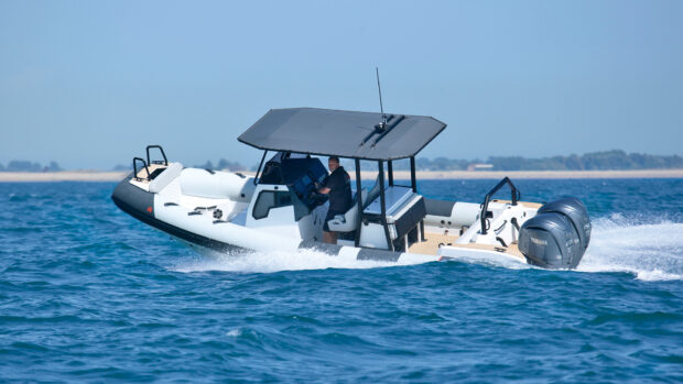
However, given a spell of quiet weather and sufficient safe range, a 35-45ft (11-14m) motor boat cruising at 22 knots has only to put in a steady nine-to-five day to arrive in Crosshaven in time for early drinks at the Royal Cork Yacht Club. Apart from weather, the only real planning constraint is the need for a morning high water at Penzance to be able to leave the wet dock.
From Penzance pierheads, you curve out into the bay to pass east of the Gear beacon and Low Lee east-cardinal buoy. Then you can follow the coast westwards, keeping about a mile off and passing seaward of Runnel Stone south-cardinal buoy. Land’s End opens up to the north, looking and feeling like the far edge of England.
Usually, it’s best to follow the coast round to pass a mile west of the Longships and then make a few miles north towards Cape Cornwall before crossing the Land’s End shipping lanes. From Cape Cornwall, although you are almost clear of the charted separation scheme, I would head due west to cross the lanes at right angles.
A convenient crossing waypoint to aim for is a position five miles due north of the Seven Stones lightfloat. This is a safe place of departure for whichever part of southern Ireland you are heading for. At this position, well out in open water, you can take stock of the weather and sea conditions before deciding whether or not to press on.
From here, Crosshaven entrance lies 128 miles at 320°T, not too long a haul on a good day. If you are nervous about weather and feel like diverting to the Scillies, the north entrance to New Grimsby Sound is only 15 miles to the south-west.
The final approach to Crosshaven is straightforward. The buoyed entrance channels are for the benefit of shipping and there are no significant dangers for yachts. Once past Rams Head, you can follow round to the west and south-west to enter Owenboy River and make for the Crosshaven yacht berths.