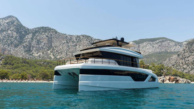
The crew of Egret is finally on course for Easter Island
Position: Cumberland Bay, Robinson Crusoe Island (just offshore Juan de Fernandez Islands, Chile)
Scott (YT) and Mary Flanders (MS) left Gibraltar on 16 September 2006, and we’ll be following their journey every step of the way, thanks to this unique online “blog”. For a complete list of all the couple’s blog entries click here
The crew ofEgretis finally on course for Easter Island
Wednesday 16 April
Well, it is time to be on our way. We received the OMNI Bob weather forecast listed below this afternoon but first, let’s back up a bit.
We were weathered in for a couple days but then we spent a couple of days ashore hiking. In any case we were biding our time to leave with winter bringing unstable and at times more severe weather. Every cruising area in the world is dictated by seasonal weather itineraries to be comfortable and safe.
In our shoreside wanderings we came across a Picaflor Fernandensis Galeritus, or red hummingbird. The Picaflor is only indigenous to Robinson Crusoe Island, where there are somewhere between 500 and 1200 birds. Fortunately they have no natural enemies and are on a slow rebound. On a recent hike we ran across two young students from Washington who were clearing invasive growth out of a habitat for the hummingbirds on the other side of the island. When we met them they were weathered in as the harbour was closed and their ride to the other side of the island was left bouncing on a mooring as you can see in the photos).
Speaking of photos, as we travel to Easter Island we’ll upload more Robinson Crusoe Island pictures with our postings. We don’t expect to see anything en route except seabirds and a lot of water. It would be highly unusual to see another boat of any kind because this isn’t a normal sea route.
We are now ready to begin our next leg of the southern route into French Polynesia. As you can see from the weather report we may have to alter course from time to time to be more comfortable on this long leg to Easter Island (Isla Pascua to Rapa Nui). However, we are in no rush and comfort and safety are our main objectives. This leg should take between 12 and 13 days, about the same as when we travelled from Bermuda to the Azores (we have put in a lot of sea miles since that journey in June 2004 so it won’t be the daunting mileage it was at the time). Offshore voyaging isn’t rocket science but a matter of acclimatization, gaining experience in sea miles and doing your homework. You also need to be able to take care of boat issues yourself. It’s not the big stuff that fails but the little things, which take little more than common sense and a bit of practice. Most things can be avoided by proper preparation.
The good ole days
Egret’sfirst offshore jaunt was during our first days of retirement. We went from Fort Lauderdale to St Mary’s Inlet, at the Florida/Georgia border. We were so nervous as we made the three waypoints around Cape Kennedy and then on to the entrance to St Mary’s. As we anchored a few hour’s later we were so proud of ourselves. And so it was.Egret’sfirst long distance offshore trip was from Fort Lauderdale to Nantucket the following summer – it took us five and a half days to reach Nantucket and we arrived at daybreak as the fishing boats were leaving the harbour, just as the fog lifted and the Blue Angels flew overhead practicing for July 4 festivities. It was spectacular!!Egret’snext hop was to Shelbourne in Nova Scotia and then north to Halifax, returning for winter in the Bahamas via Maine.
OMNI Bob’s report
“Currently, high pressure is located to your west near 34S 90W. The high cell is expected to move across your location through Thursday 17, then it should gradually weaken through Friday and Saturday
We are watching a cold front that extends NW across 43S 100W. This front is not expected to move much over the next 24-36hrs, but should develop a deepening area of low pressure along it near 40S 110W through late Thursday. The low centre will move E-ESE through Friday and deepen while another cold front to the south pushes north. The cold front will weaken and cool/cold air will spread north. This will bring a trailing cold front from the low centre north/east across the 30S 100W area through Saturday and it should then continue to spread north/east across 20S 95W through Monday when the front will tend to stall.
As the front moves north/east and stalls from Saturday to Monday, a broad area of high pressure is expected to move north/east across 40S 100W through Monday 21 where it should become stationary. The expected stationary front is expected to develop an area of low pressure along it here 28S88W by Midday Tuesday. The low centre should not develop any further through Wednesday as it tends to dissipate into Thursday. As the low dissipates the high centre near 40S 100W should gradually weaken and drift north across 35S 100W through Thursday night.
Overall, there is still a risk of some rough NW to SW conditions near the cold front as it approaches and from the west during day 2-3 of the voyage. However, after the front moves through, the waves of low pressure develop and high pressure becomes stationary, a more favorable wind/sea pattern is expected to develop on Monday 21, which should prevail all the way to Easter Island.
Therefore, based on a departure on Thursday morning along the rhumbline route to Easter Island, keep in mind that you may need to alter your course/speed at times in order to maintain the best ride as the cold front approaches, then passes, expect:
Thursday 17: SSW-SE 08-15kts, waves 0.5-1m, Swells SW-W 1.5-2m
Friday 18: SSE-SE 08-15kts, waves 0.5-1m. SW-WNW 1.5-2m. Winds tending to become more Var to N-NW 12-20kts, waves 1-1.5m with SW-WNW 1.5-2.5m during Friday pm.
Saturday 19: Freshen N-NW 20-30kt, gusty as the front nears. Waves 1.5-2.5m. Swells WNW to SW 2-3m through Saturday afternoon. A building SW-SSW swell 3-3.5m is expected as the winds also tend to shift NW-SW to SSW 22-30kts Saturday evening/night.
Sunday 20: SSW-SSE 22-30kt, gusty at times. Waves 2.5-3m. Swells SW-SSW 2.5-3.5m.
Monday 21: SSE-SE 22-30kt, gusty/35kts at times. Waves 2.5-3m. Swells SSW to SSE 2-3m through Monday morning. Winds/seas becoming SE-ESE 22-28kts, gusty 30-33kts with waves 2.5-3m with a mixed/lowering SW & ESE 1.5-2.5m during Monday afternoon.
If the above forecast is too rough and you would rather wait for a more favourable pattern, then we suggest you consider waiting until Monday 21 or after and allow for the winds to become more SW-S to more SE. There is the chance the developing high-pressure pattern from April 21-24 will break down through April 25-27, which will allow for a more forward of the beam to head pattern to develop. However, by leaving tomorrow and not waiting until Monday 21 you will be in a better position to reach Easter Island with an increased chance of experiencing favourable winds and seas.
Please keep us advised of your intent, Watching and updating.
Best Regards
Bob/OMNI”
Thursday 17 April
We are off but not without a bit of effort. It’s a long story but our anchor chain and mooring chain became married. The divorce took a while but thanks to the efforts of Pedro Niada (who owns a local pension, restaurant and diving service (www.endemica.com). So, at 4:20pmEgretis on her way. Quick stats are 748.44nm from Puerto Montt, Chile, 2558.78nm from Ushuaia, Argentina and 10,697.2nm from Gibraltar. Our rhumbline waypoint well offshore of Easter Island is 1619.4nm in the distance. So it begins. Ciao.